The Paradox Trail
Location: Montrose, CO
GPX File
Distance: 119 Miles
MTB Project Page
Per MTB Project: Established in 1995, the Paradox Trail was a collaborative effort between COPMOBA, Montrose West Recreation, the BLM and USFS. Although it lies entirely on various doubletrack surfaces, the trail boasts at least five hike a bike sections that demand a dismount. The terrain of Western Montrose County is laced with massive cliffs, deep drainages and dry arroyos plus views of the La Sal Mountains to the west and the San Juans to the southeast.
Years of mineral exploration and ranching have created hundreds of miles of roads and trails on one the largest tracts of publicly controlled lands in Colorado. There are five large tracts in the region which are administered as Wilderness. The Paradox Trail uses many of those old lost roads to traverse the entire length of Western Montrose County in a not so straight 118 mile long course.
Supported Women's
Lauren Zimmer, 10/21/23, 17:43:31
Men's
Notes from the trail:
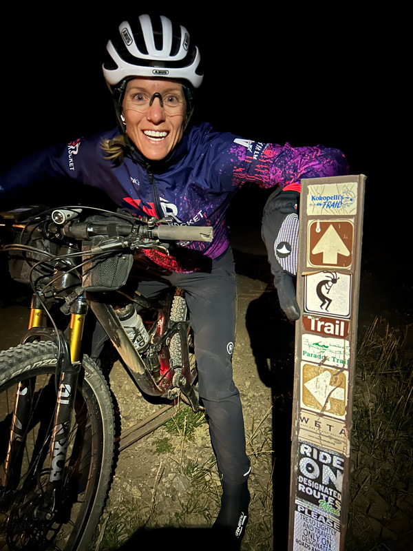
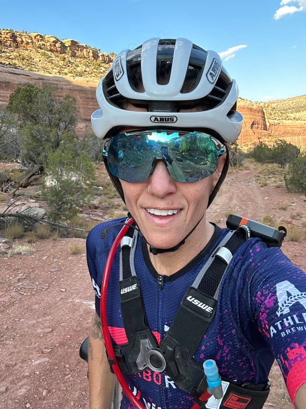
Lauren Zimmer's Successful FKT: This route was extremely tough! It was so remote and the terrain was extremely technical (singletrack and doubletrack roads) with LOTS of hike-a-bike sections, sandy, overgrown, and some route-finding. I feel like this route would be quite hard to do unsupported unless you stash water/food beforehand due to how remote it is!!
The day went fairly well with a few run-ins with dead tree branches sticking out on the "trail" (trail is such a relative term for this route!) I had a small shifting problem towards the end but my amazing husband/crew was able to fix it. My bike light did end up dying when it got dark and I was hallucinating that cows were chasing me and had to walk a mile with only my cell phone light to meet up with my husband! But really, that was the only "eventful" thing that happened!
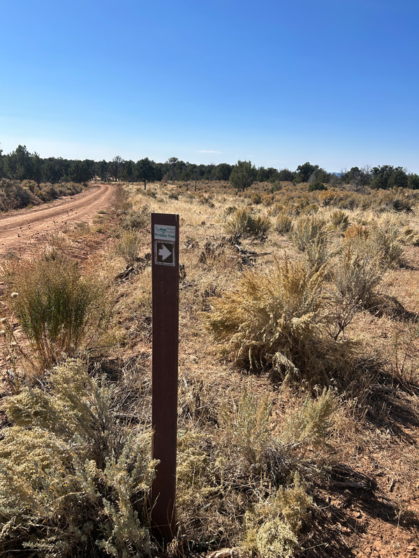
As for the trail markings, overall it was marked ok but there was definitely quite a bit of route finding since a lot of the singletrack was grown over in spots.


